


Ruta de los Peregrinos
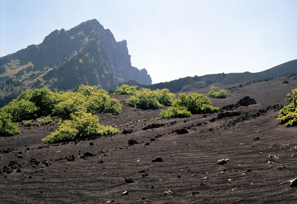
1 The route starts at kilometre 30 of the main TF-24 road, which leaves La Esperanza up to Las Cañadas from a place known as La Crucita, where there is a lookout spot. The trail starts to the right of the look-out, on a forest path. A few metres to the left of the starting point, there are two, half-buried stumps indicating the entrance to the path. You must be careful along the first stretch of the path as it can get very slippery. The path leads up to the Las Arenas Volcano, up a steep slope and over lava flows. It is criss-crossed by the forest track. The trail enters the Pedro Gil Caldera (Cauldron), whose volcanic cone, Las Arenas, makes it unmistakable. Once the trail starts to follow the track next to the volcano, it continues a few metres to the right of the track, re-joining the track further on, until it crosses a fence. The path descends toward a chestnut grove and down to a stone building known as El Refugio. A few metres from here, the trail continues off to the left, leaving the path for good. A few metres further on, you have to turn off to the left. The trail now runs through an interesting old pine forest, through which you continue to walk for about 35 minutes, along a pleasant path that climbs gradually down under the shade of the trees. This point is on a small ridge, from which you can see a dry water canal a few metres below. Here, you must take the track to the left, crossing the canal a little further down. It follows another water channel, this one containing water. The path then continues without any turnings or forks until you reach a black top stretch, in the upper district of Arafo. Here you must follow the road down until you come to the first turning to the left, which leads to the centre of Arafo.
2 Here you can take a bus to Candelaria, the end of the trail.
Interesting details
Ruta de los Peregrinos

Flora
Pines, bugloss, tree heath, etc
Values
Las Arenas Volcano. Caldera de Pedro Gil. Chinguaro Caves. Cho Marcial Peaks.
Heritage
Cathedral of Candelaria (built in 1959). Arriba Church (Hamlet of El Socorro, declared a cultural asset). San Blas Cave. El Socorro Trail, declared a cultural asset.
Protection
Corona Forestal Nature Park. Las Siete Lomas Protected Landscape. Useful telephone numbers Town Tourist Information Centre 922 161 133 Arico Local Police 922 511 711 Red Cross 922 281 800 City/Highway Police 922 510 214 TITSA (Bus company) 922 531 300
Route details
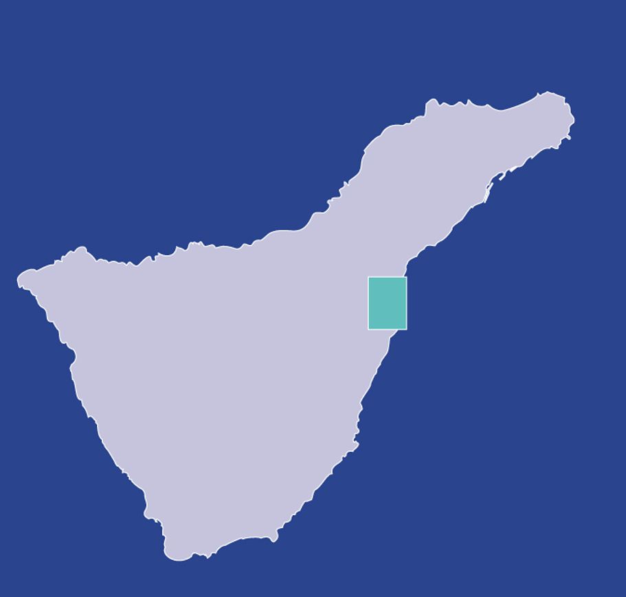
| Position | Boroughs of Arafo, Güímar y Candelaria |
|---|---|
| Start point | La Crucita view point |
| End point | Arafo |
| Distance | Route 1: 14,5 km.Route 2: 12,5 km. Total: 27 km. |
| Duration | Route 1: 6 h. approx. Route 2: 3 h. approx. |
| Difficulty | Medium |
| Accessibility | TITSA bus routes |
| Grade | Route 1: Average 12% approx.Route 2: Average 3% approx. |