


La Montañeta - Arenas Negras
1The trail starts at the church of San Francisco de La Montañeta, from where you follow the road up to the forestry hut. Opposite the forestry hut, you take a path that leads 300 metres above the road. Once you are back on the black top, you follow the road until you see the sign that says "Arenas Negras". There is a bus stop next to the sign. From here, you take the dirt track that climbs from the road. Follow it for about 2 kilometres without turning off. It is best to make this climb during the cooler times of the day, in order to avoid the heat and too much sun. 2 After climbing for about 45 minutes, you will reach the recreational area of Arenas Negras, equipped with taps, grills, tables and a camping area.
Interesting details
La Montañeta - Arenas Negras

Flora
Pines, wax myrtle, tree heath, rock vegetation.
Values
Montaña Negra Volcano and its lava flows. El Roque de Garachico. El Caletón (natural swimming pools).
Heritage
Los Reyes church (unaffected by the eruption of 1706). Puerto de Tierra (the remains of the harbour before the 1706 eruption).
Protection
Roque de Garachico Natural Monument. Los Acantilados de la Culata Protected Landscape. Corona Forestal Nature Park. Useful telephone numbers Town Tourist Information Centre 922 584 657 El Sauzal Local Police 922 560 606 City/Highway Police 922 560 638 Red Cross 922 281 800 TITSA (Bus company) 922 531 300
Route details
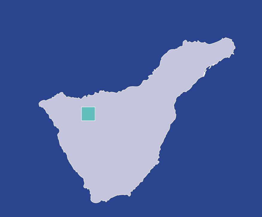
| Position | Garachico |
|---|---|
| Start point | La Montañeta |
| End point | Arenas Negras |
| Distance | 2,8 Km. |
| Duration | 50 min. |
| Difficulty | Low - medium |
| Accessibility | TITSA Bus routes |
| Slope | From 1000 m. to 1300 m. above sea level |