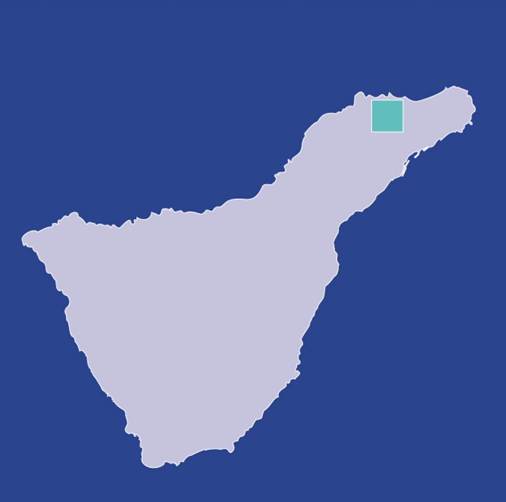
Las Escaleras - Las Carboneras / Las Escaleras - Chinamada
1 The track starts on the edge of the TF-1145 road at a very sharp bend, after passing the hamlets of El Rio and Las Cordilleras. On its first stage, it goes down some steps from where you may enjoy a beautiful view of Roque Taborno (Taborno Mount). Once down, the track follows in a zig-zag, through a thick mass of tree-heath and wax-myrtles until it reaches, after some l00 m., a bend, by a high voltage tower. At this point, the track divides in two.
You have two options now: on the right, towards Las Carboneras, the track descends in a zig-zag to the TF- 1145 road, with some natural caves on the left, and after these a spring. It crosses the road, and after 400 m., it reaches the hamlet of Las Carboneras, one of the most important and interesting spots of the rural world of Anaga. Along this part you will see wooden posts either on the right or the left. On the left towards Chinamada: the track follows a narrow path bordering the Tomadero ravine, which is very steep and on whose bed there are still some ponds and springs combined with eroded materials. It passes through the houses of Tames from which you may have extraordinary views of Chinamada and Batán de Abajo.
2 Turning right at the houses of Tames, you get to the end of the track at the hermitage of the hamlet of Chinamada, 3 of great ethnographical interest, since it preserves about thirty caves in good condition still inhabited by the locals.
Interesting details
Anaga.

Flora
Canary Islands Ebony (Persea Indica), Canarian Laurel (Laurus Azorica).
Values
Fauna: two kinds of wild pigeons, called "turqué" (Bolle pigeon) and "rabiche" (Pigeon of the Laurel Forests).
Heritage
Hermitage of Nuestra Señora del Carmen (19th c.) Information centre at Cruz del Carmen.
Protection
Inside the rural Park of Anaga Useful telephone numbers Rural Park Informatión Centre 922 633 576 La Laguna Local Police 922 601 175 Red Cross 922 259 626 - 922 281 800 City/Highway Police 922 259 416 TITSA (Bus company) 922 531 300
Route details
| Position | Borough of La Laguna |
|---|---|
| Start point | Las Escaleras (TF-1145) |
| End point | Las Carboneras or Chinamada (2-3) |
| Distance | 3 km. |
| Duration | Las Carboneras 20 min. |
| Difficulty | Medium |
| Accessibility | TITSA bus routes. |
| Slope | 100 mts. approx. |