


Güímar
From the peaks of Izaña (2,386 m) down to 1200 m above sea level, you are in the Corona Forestal Nature Park, clearly dominated by pine trees.
The area from Izaña down to 300 m. in La Ladera and to 500 m. in the Güimar valley, is another protected area known as Ladera de Santa Ursula, which includes Los Organos and the upper part of the Güimar valley, an area of great scenic beauty and rich in endemic species.
The Malpais de Güimar natural area includes the Montaña Grande cone, along with other secondary volcanic structures, and a broad expanse of malpais. The area is interesting from a geomorphological, botanical and wildlife point of view. Another protected natural space is the Herques Ravine, bordering on Fasnia.
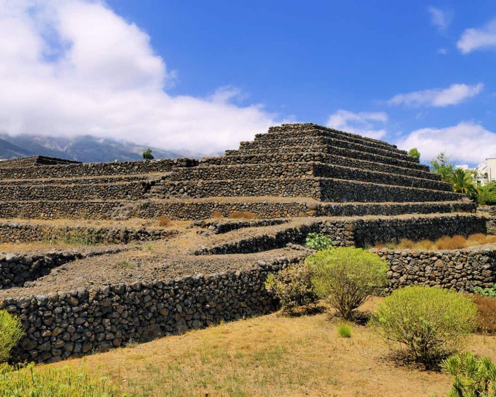
MALPAÍS DE GÜÍMAR
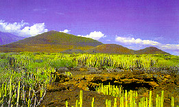
The malpais (or badlands) encompasses the volcanic cone of Montaña Grande, with its crater measuring 300 m in diameter and 276 m. high, and a lava flow that runs down to the sea. All together, the area constitutes a typical volcanic landscape.
The vegetation is typical of both the altitude and the soil, with more than fifty species of higher plants, mainly spurges of different varieties.
You can also find a cave formed by the explosion of a bubble of gases. It is called Cueva Honda and extends for one hundred metres, with a maximum height of five metres. The geomorphic and climatic features of the terrain make the area unique, in fact it has been declared a Special Nature Reserve.
HERQUES RAVINE
The area of the Herques ravine has a wealth of caves with Guanche remains. Settlements were located close to water, something that the Herques ravine could offer both in winter and summer.
The ravine is the natural boundary between the boroughs of Fasnia and Güimar. The spectacular appearance of the ravine, with its sheer slopes and crags, is due to the landslides that occur every year, unleashing the force of the local waters and cutting a deep furrow in the earth. The ravine runs from 0 m on the coast, right up to 2,300 m. in the mountains.
The ravine is currently classed as a Protected Natural Area under Law 12/87.
BADAJOZ RAVINE
In the highland area of the borough, next to the Güimar slopes, it is covered by laurel forest, pines and fruit trees.
It comes within the Las Siete Lomas Protected Natural Area.
The Cueva del Cañizo, an aboriginal cave that was the summer residence of the Menceyes (Kings) of Güimar, is in the ravine. It gets its name from the network of tubes inside it.
The main value of the landscape resides in the endemic plant species to be found here, the spectacular vertical walls and the "U" shape of the ravine.
Historically, both the Badajoz and the Rio ravines have supplied all the water that was needed to irrigate the borough's coastal and foothill farm produce. Over the years the area has been used for farming, from the late 19th century up to the 70's, there has been an interesting development in how subterranean waters are tapped (galleries, wells, etc.)
CAMINO DEL ARRASTRADERO
The Camino del Arrastradero is a trail that will take you to the Las Lajas, or Marquesa, farm, so called because it belonges to the widowed Marquise de la Florida. The estate has a house, that goes by the same name, with a hundred-year-old pine tree nearby that is known as El Pino de la Marquesa.
The Arrastradero trail is named after the intense forestry activity that used to take place in the pine forest, where pitch was made and wood cut.