8. Sendero De El Filo
| Name: 8. Sendero de El Filo | ||
| Heritage: Patrimonio Natural | ||
| Categoria: Senderos | ||
| Address: | Tel: | |
| Parque Nacional del Teide | Fax: | |
| Más información | ||
8. El Filo Trail
Start: Km 38.5 of main road TF-24
Finish: Degollada de Guajara (trails 5 and 15)
Duration: 7 hours
Length: 14.2 Km
Difficulty: Moderate
Maximum difference in height: 275 m descent
Connections: Trails (4), 5, 15 and the Chasna Way
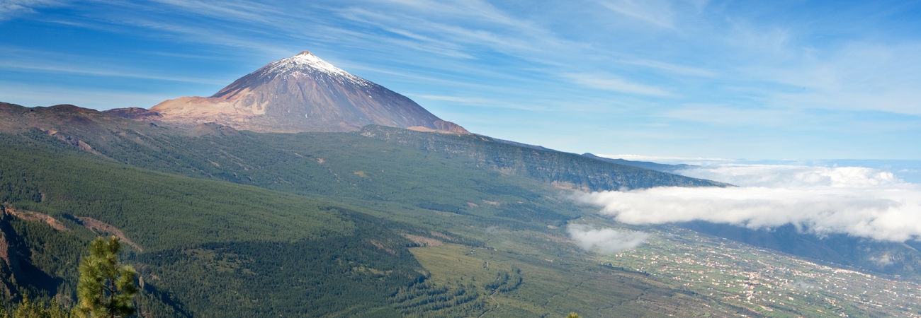
Description: Most of the path follows the old forestry track along the ridge of the caldera, through superb expanses of broom, and allowing glimpses of the interior of the caldera of Las Cañadas at several points along the way. Panoramic views of the hillsides of south Tenerife with fine old specimens of Canary Pines. The route offers a great variety of geomorphological and botanical features.
After descending Montaña de Pasajirón, the trail ends at Degollada de Guajara, from where you can walk down to the Siete Cañadas trail or climb to the top of Mt Guajara.
To request pamphlets about the island or additional information to complement the contents of this website, please contact the Tenerife Tourist Information Offices.


