1. Sendero De La Fortaleza
| Name: 1. Sendero de La Fortaleza | ||
| Heritage: Patrimonio Natural | ||
| Categoria: Senderos | ||
| Address: | Tel: | |
| Parque Nacional del Teide | Fax: | |
| Más información | ||
1. La Fortaleza Trail
Start: Visitors’ Centre at El Portillo
Finish: La Fortaleza hillside (limit of national park)
Duration: 1 hour 45 minutes
Length: 5.3 Km
Difficulty: Low
Maximum difference in height: 175 m descent
Connections: Trails 2, 4, 6 and the Chasna Way
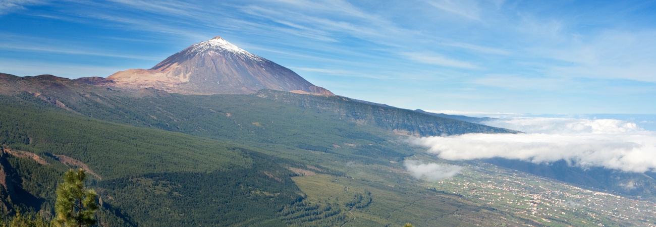
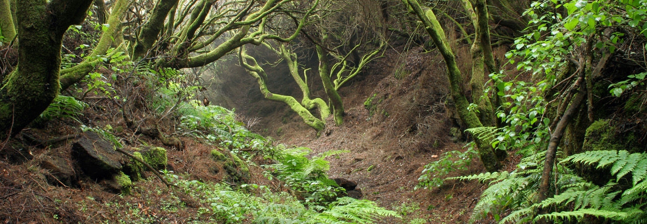
Description: Undulating trail with continuous views of Mt Teide. From the start to the Cañada de los Guancheros, the trail wends its way through mounds of pumex (pumice stone) where white broom and laburnum bushes reign supreme. In the Cañada de los Guancheros, there is an abundance of rosalillo de cumbre (Pterocephalus lasiospermus), tonática (Nepeta teydea) and hierba pajonera (Descurainia bourgeauana). The final section of the trail runs along the foot of the Riscos de la Fortaleza: cliffs covered in vegetation associated with escarpments and Canary Pines.
To request pamphlets about the island or additional information to complement the contents of this website, please contact the Tenerife Tourist Information Offices.


